The walking guide to
Frankfurt.
Frankfurt on foot: 15 places explained, 3 routes drawn on real streets, 3 districts and the essentials for getting around. Sources are cited on every page.
- 15
- places
- 3
- routes
- 3
- districts
The essentials
Numbers refer to the map of places




How we work
A guide to read while walking: every place has its story, every route follows real streets.
Where to stay
Recommended districts to stay within walking distance
- SachsenhausenBooking.comHotels.com
- BahnhofsviertelBooking.comHotels.com
- NordendBooking.comHotels.com
Partner links: via.city may earn a commission, at no extra cost to you.
Where to start
Distances measured along the line; times are walking time only, without visits.
Map of places


Off the map: 1. Römerberg
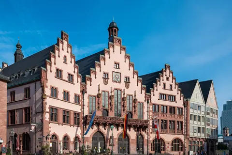
- 1RömerbergSquares and streets
- 2RömerMonuments
- 3Frankfurt CathedralChurches and chapels
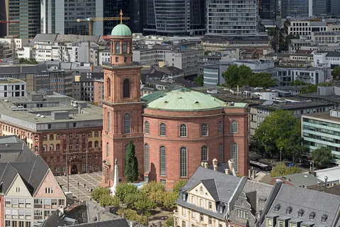
- 4St. Paul’s ChurchChurches and chapels
- 5StädelMuseums
- 6MuseumsuferMuseums
- 7Main TowerViewpoints
- 8Eschenheimer TurmMonuments
- 9Alte OperShows
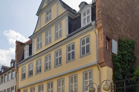
- 10Goethe HouseMuseums
- 11ZeilMarkets
- 12PalmengartenGardens
- 13Eiserner StegMonuments
- 14LiebieghausMuseums
- 15Historical MuseumMuseums
App in preparation
The Frankfurt guide has no app yet. Leave your address: a single message on the day it comes out.